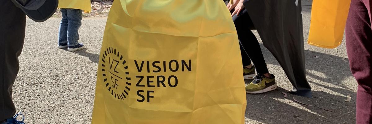
Vision Zero SF
A System of Safety
Vision Zero recognizes that we are human and humans make mistakes. The problem isn't only that there might be a crash but also the results of a crash; human bodies have limited ability to tolerate crash impacts. Road systems must be designed to protect all users while keeping us moving - by anticipating human mistakes and designing and managing streets that physically encourage safer speeds and safer driving. Our holistic Safe System Approach combines multiple layers of safety improvements that work together, centered on human life and coordinated across City departments:
- Safe Streets
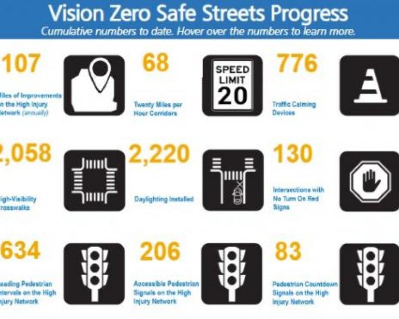
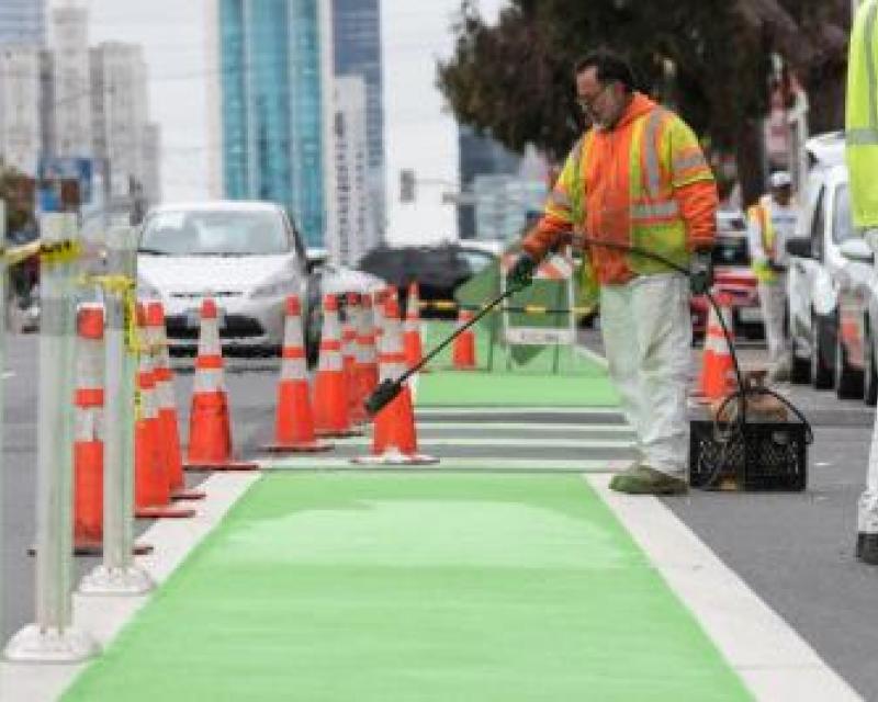
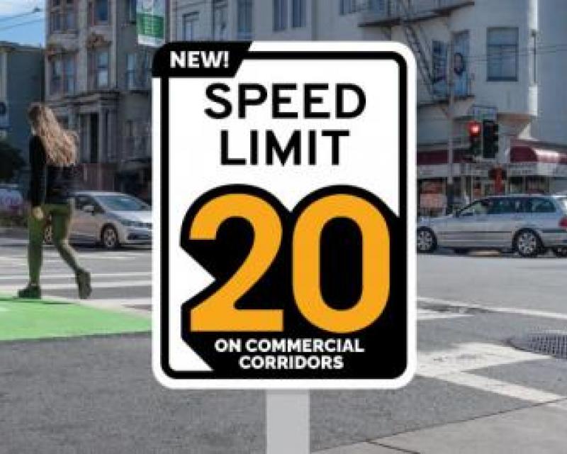
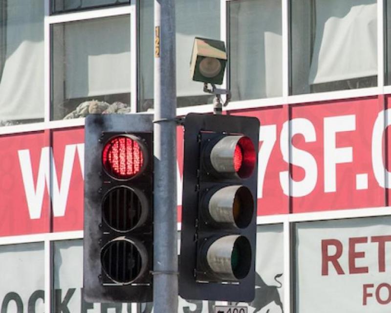
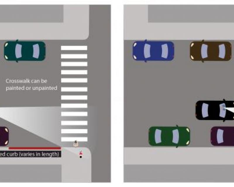
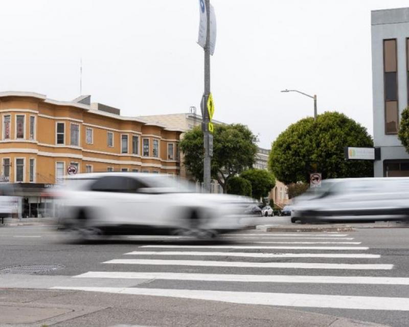
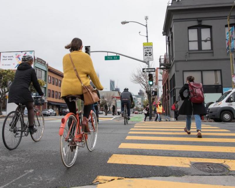
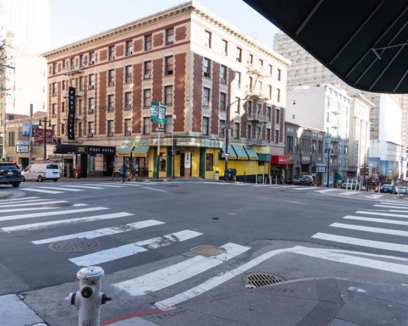
Speeding, inadequate visibility between travelers, and intersection conflicts all increase the likelihood of a crash that results in a severe or fatal injury. We are implementing design and data-driven engineering tools to improve safety: We’ve completed more than 13,000 traffic safety treatments on San Francisco streets since Vision Zero began in 2014—from signals (3,600) and signs (1,600) to traffic calming (1,058) and road diets (20).
- Safe People
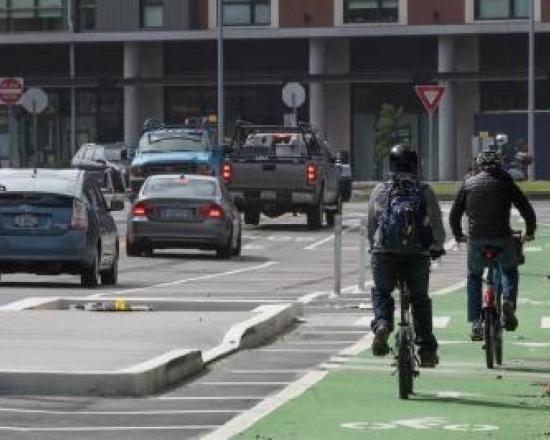
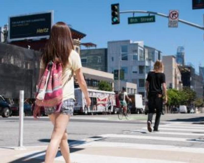
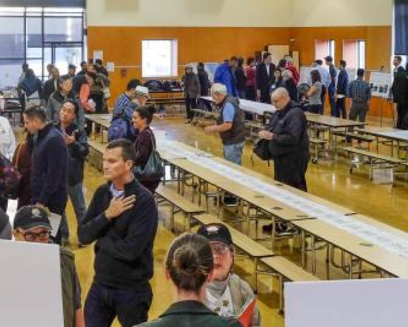
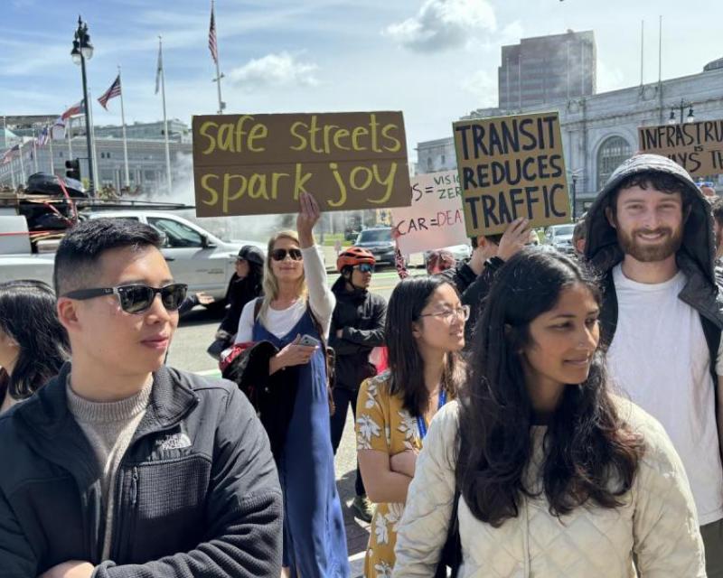
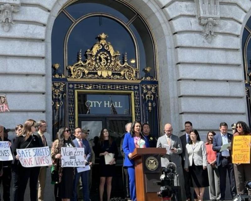
Our most vulnerable road users are people outside vehicles—those walking, biking and rolling. Vision Zero SF is coordinating with other City agencies to create a culture that prioritizes traffic safety by raising awareness of the need for safer streets, reducing barriers to adopting safer driving behaviors, and creating traffic safety champions.
- Safe Vehicles
San Francisco will remain actively engaged in research and debates about policy and technological innovation at both the state and federal level. That’s how we and our dedicated community partners ensured the State of California passed needed speed, enforcement and road design reforms. As regulators debate vehicle size, weight and speed limitations—and how to ensure the safety of driverless cars—the City will strongly encourage all measures that can save lives.
- Data Systems
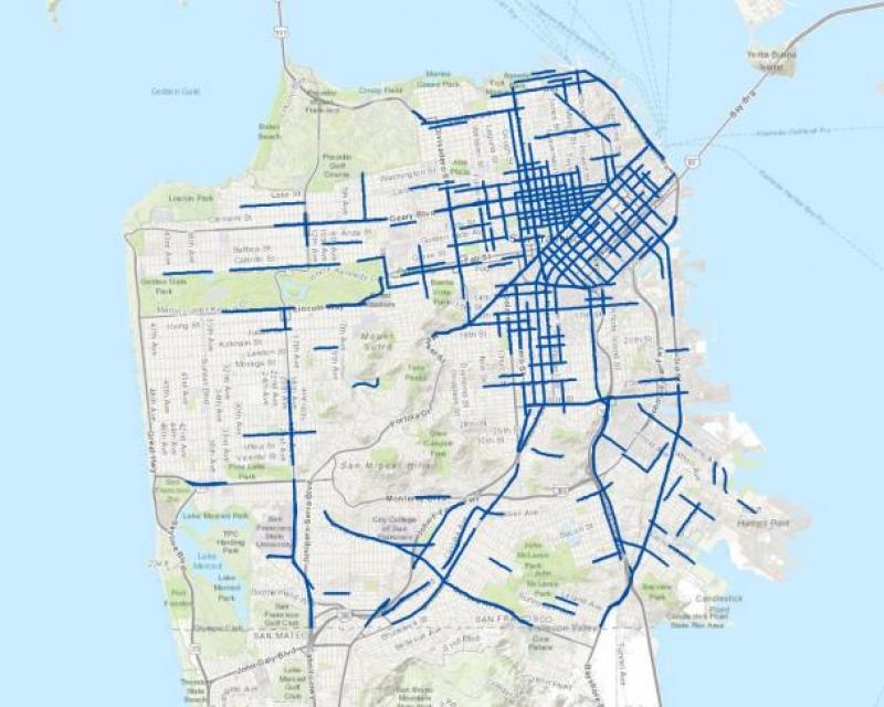
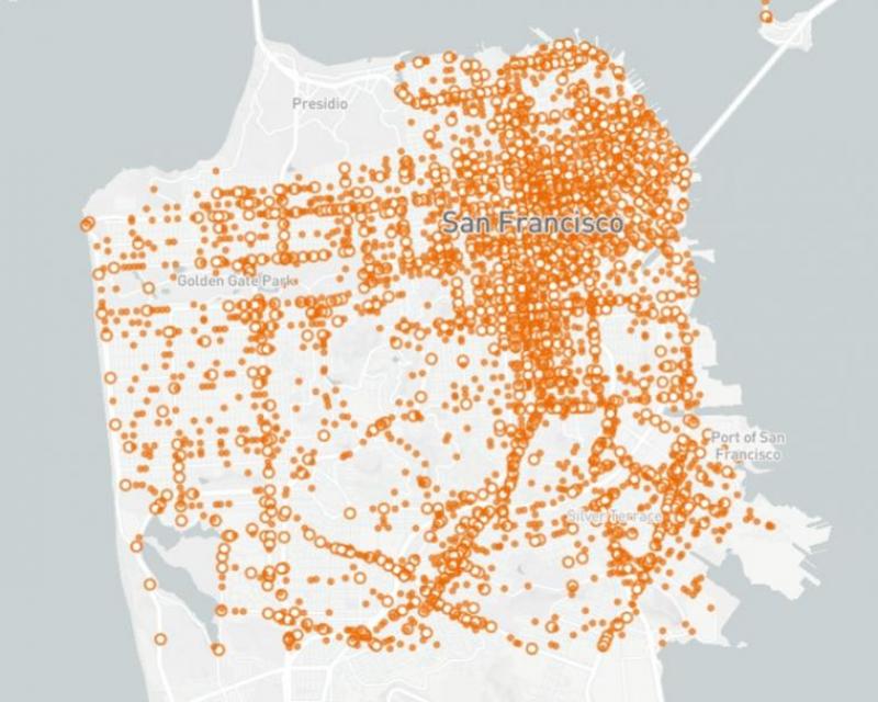
San Francisco was one of the first U.S. cities to systematically link police crash data and hospital trauma center data, creating a national model for a High Injury Network (HIN) map: the 12% of streets where 68% of severe and fatal traffic crashes occur. The data is proving critical to understanding—and acting on— the inequities in traffic fatalities in equity-priority communities, including older adults, non-English speaking populations, low-income or disabled individuals, minority populations and people experiencing homelessness. Safety improvements are now in place on 75 miles of the HIN.
Quarterly Newsletter
Contact Information